 Rubii: AI Character Community
Top AI tools for Surveyor
-
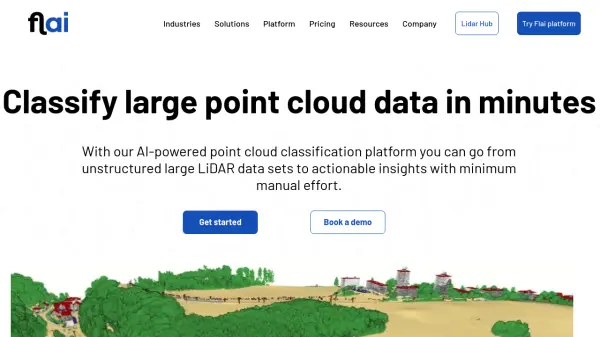 Flai AI-powered point cloud classification platform for LiDAR data processing
Flai is an advanced platform that transforms unstructured LiDAR datasets into actionable insights through AI-powered point cloud classification, offering both cloud-based and self-hosted solutions for efficient data processing.
- Freemium
- From 20$
-
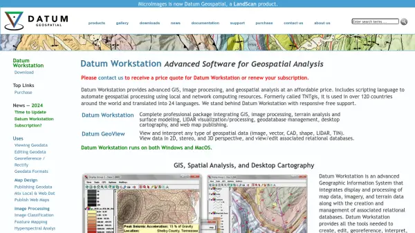 Datum Workstation Advanced Geospatial Analysis and Image Processing Software
Datum Workstation delivers professional GIS, image processing, and terrain analysis solutions, integrating advanced tools for managing, visualizing, and publishing geospatial data on Windows and MacOS platforms.
- Contact for Pricing
-
 Docketbook Digital Docket Management for Construction and Supply Chains
Docketbook streamlines purchase-to-pay workflows in construction and supply chains, offering digital docket creation, approval, and integrated invoicing to boost efficiency and collaboration.
- Contact for Pricing
-
 12d Synergy ISO 19650 Compliant Common Data Environment for Engineering and Construction
12d Synergy provides a streamlined Common Data Environment (CDE) for engineering and construction, enabling efficient document, email, and data management for all project stakeholders.
- Contact for Pricing
-
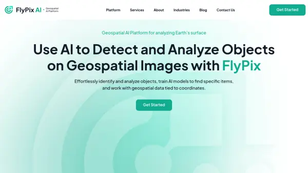 FlyPix AI Geospatial AI Platform for Analyzing Earth's Surface
FlyPix AI is a geospatial analysis platform that uses AI to detect and analyze objects in images. Train custom AI models and analyze geospatial data tied to coordinates.
- Freemium
- From 50$
-
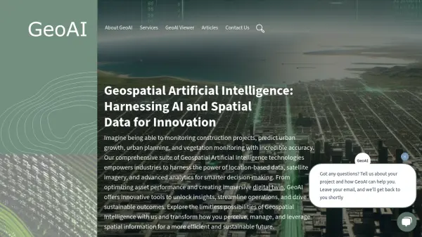 GeoAI Harnessing AI and Spatial Data for Innovation
GeoAI combines Artificial Intelligence with geospatial engineering to analyze location-based data, satellite imagery, and advanced analytics for smarter decision-making in various industries.
- Contact for Pricing
-
 Propsize Accurate Property Data at Your Fingertips—Faster, More Affordable, and Branded for You
Propsize delivers detailed floor area data and AI-generated property reports for real estate professionals. It offers a cost-effective, efficient, and branded solution for obtaining crucial property insights.
- Paid
-
 Ouster High-resolution lidar sensors and perception software for autonomy.
Ouster provides high-resolution digital lidar sensors and AI-powered perception software designed to enhance safety, efficiency, and autonomy across various industries including automotive, robotics, and smart infrastructure.
- Contact for Pricing
-
 ACTCAD Enterprise-Grade Fast & Affordable CAD Software for 2D Drafting and 3D Modeling
ACTCAD delivers advanced CAD solutions for 2D drafting and 3D modeling with perpetual licensing, providing professionals with high performance, file compatibility, and industry-specific features at an affordable price.
- Pay Once
-
 RoomScan Pro LiDAR Capture Accurate Floor Plans Instantly with LiDAR
RoomScan Pro LiDAR enables rapid, precise capturing of 2D floor plans and 3D room models on iPhone and iPad Pro, leveraging LiDAR technology for accuracy and ease.
- Pay Once
-
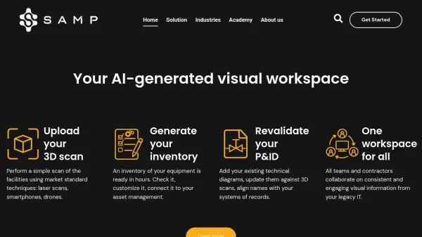 Samp Shared Reality for Industrial Sites
Samp provides an AI-generated visual workspace for industrial sites, connecting 3D reality capture with technical data to improve collaboration and data accuracy. It helps manage industrial assets by creating digital twins from scans.
- Contact for Pricing
-
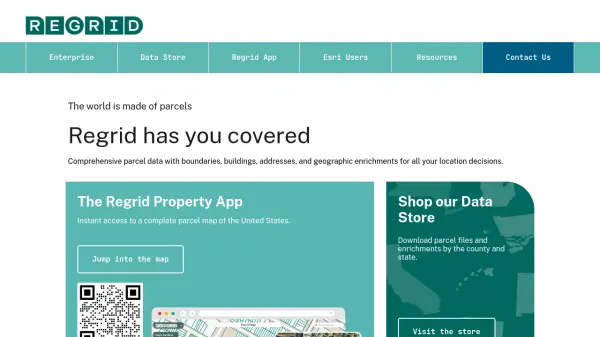 Regrid Comprehensive parcel data with boundaries, buildings, addresses, and geographic enrichments for all your location decisions.
Regrid provides comprehensive parcel data for the U.S. and Canada, including boundaries, ownership, addresses, and geographic insights, accessible via app, data store, API, and enterprise solutions.
- Freemium
-
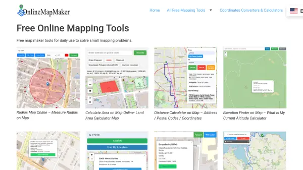 Online Map Maker Free, Easy-to-Use Online Mapping and Geodata Tools
Online Map Maker provides a suite of free web-based mapping tools for calculating areas, distances, elevations, zip codes, and more through an intuitive interface. The platform supports geographic data visualization, conversion, and analysis for students, professionals, and planners.
- Free
-
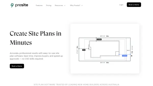 Presite Effortless Site Planning for Builders
Presite streamlines site planning for builders with easy-to-use software that creates fast, professional site and floor plans without the need for CAD skills.
- Usage Based
- From 98$
-
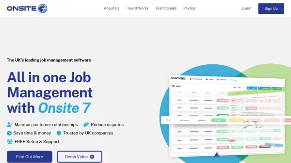 Onsite 7 All-in-One Job Management Software for Trade Businesses
Onsite 7 delivers comprehensive job management and CRM solutions tailored for UK trade, construction, and fenestration businesses, streamlining project tracking, documentation, and customer interactions.
- Paid
- From 100$
-
 Skydio Know more. Risk less.
Skydio drone programs enhance safety and efficiency through remote autonomous flight, providing crucial data for various industries, including Energy & Utilities, Defense, and Public Safety.
- Contact for Pricing
-
 Elsight Absolute Connection Confidence for Unmanned Systems
Elsight provides AI-powered connectivity solutions, like Halo, for reliable Beyond Visual Line of Sight (BVLOS) operations of drones, UAVs, and other uncrewed systems, ensuring constant uptime.
- Contact for Pricing
-
 PostcodeInsights Unlock Property Intelligence for Any UK Postcode
PostcodeInsights provides real-time property data, market trends, and local area insights for any UK postcode, helping users make informed property decisions quickly.
- Freemium
-
 InspectEasy All-in-One Property Inspection App for Professionals
InspectEasy is a comprehensive building inspection app designed for Australian and New Zealand inspectors, offering customizable templates, AI-powered defect statement suggestions, and seamless report generation on iOS and Android devices.
- Free Trial
- From 80$
Featured Tools
Join Our Newsletter
Stay updated with the latest AI tools, news, and offers by subscribing to our weekly newsletter.
Explore More Professions
Didn't find tool you were looking for?