 Rubii: AI Character Community
Top AI tools for geospatial
-
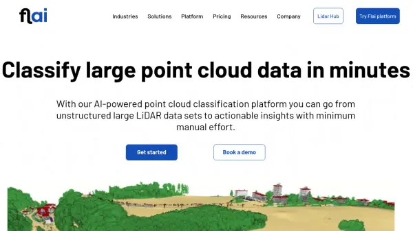 Flai AI-powered point cloud classification platform for LiDAR data processing
Flai is an advanced platform that transforms unstructured LiDAR datasets into actionable insights through AI-powered point cloud classification, offering both cloud-based and self-hosted solutions for efficient data processing.
- Freemium
- From 20$
-
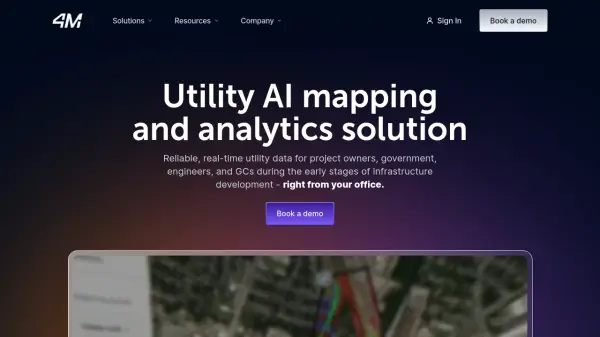 4M Analytics The ultimate source of utility data
4M Analytics is an AI-powered utility mapping and analytics platform that provides real-time utility data and infrastructure mapping solutions for project owners, engineers, and contractors during early-stage infrastructure development.
- Contact for Pricing
-
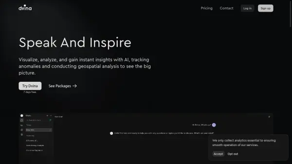 Dvina Visualize, analyze, and gain instant insights with AI for data-driven decision making
Dvina is an AI-powered analytics platform that helps users visualize, analyze, and gain instant insights from multiple data sources, featuring geospatial analysis, anomaly detection, and real-time reporting capabilities.
- Freemium
- From 72$
-
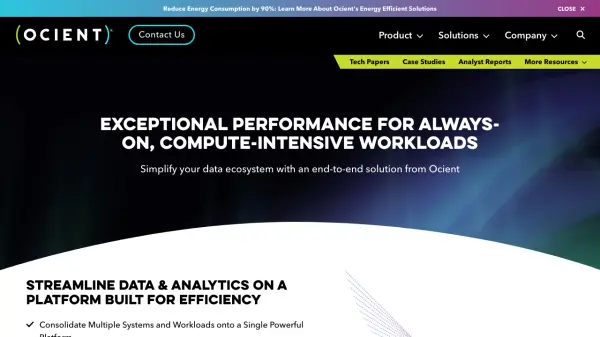 Ocient Hyperscale Data Warehouse Real-time analysis of complex, hyperscale datasets with 90% reduced energy consumption
Ocient is a hyperscale data warehouse platform that delivers real-time analytics and OLAP workloads with integrated machine learning capabilities, designed for maximum performance while reducing costs and energy consumption.
- Contact for Pricing
-
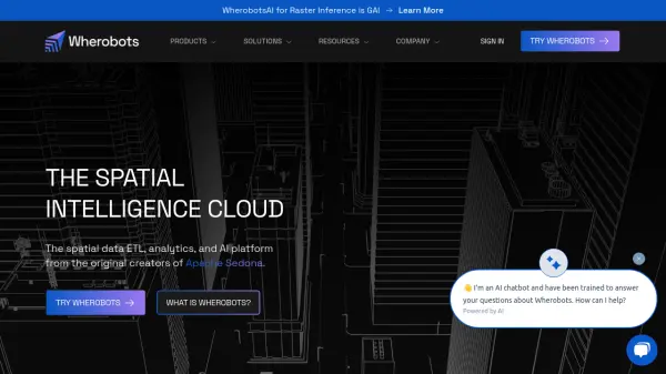 Wherobots The Spatial Intelligence Cloud for Planetary-Scale Analytics
Wherobots is a comprehensive spatial data platform that combines ETL, analytics, and AI capabilities for processing geospatial data at scale, created by the original developers of Apache Sedona.
- Freemium
-
 HEAVY.AI Instant Analytics on Billions of Records
HEAVY.AI is a revolutionary GPU-accelerated database and analytics platform providing instant insights on billions of records, including geospatial and time series data.
- Freemium
-
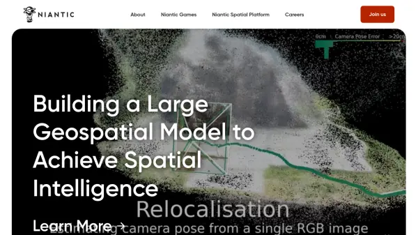 Niantic Building Spatial Intelligence for Real-World Interaction
Niantic develops spatial intelligence and augmented reality (AR) solutions. Their platform transforms how people and machines understand and interact with the physical world.
- Contact for Pricing
-
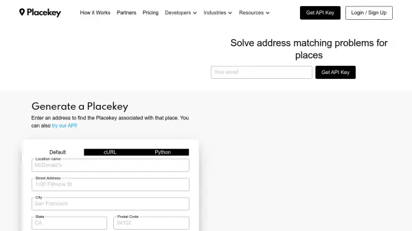 Placekey Solve address matching problems for places
Placekey provides a universal identifier for any physical place, simplifying data sharing and solving address matching challenges across organizations using a unique 'What@Where' format.
- Freemium
- From 200$
-
 Atlas AI The AI Platform for Geospatial Insights
Atlas AI is a geospatial AI platform providing hyperlocal socio-demographic indicators and forecasting tools, empowering data scientists with location intelligence.
- Contact for Pricing
Featured Tools
Join Our Newsletter
Stay updated with the latest AI tools, news, and offers by subscribing to our weekly newsletter.
Didn't find tool you were looking for?