 Rubii: AI Character Community
Top AI tools for geospatial analysis
-
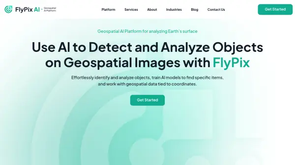 FlyPix AI Geospatial AI Platform for Analyzing Earth's Surface
FlyPix AI is a geospatial analysis platform that uses AI to detect and analyze objects in images. Train custom AI models and analyze geospatial data tied to coordinates.
- Freemium
- From 50$
-
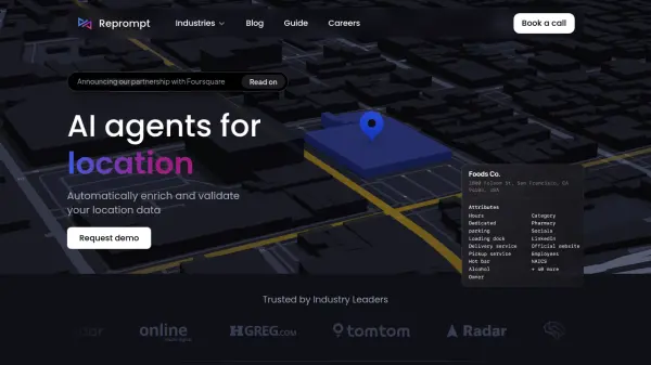 repromptai.com AI Agents for Location Data
Reprompt provides AI agents to automatically enrich and validate location data. It offers real-time data updates, custom attribute generation, and automated review of place and GIS data.
- Usage Based
-
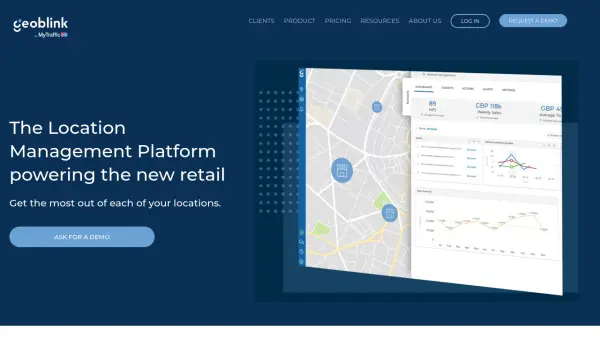 Geoblink The Location Management Platform powering the new retail
Geoblink is a location management platform providing data-driven insights for retail, commercial real estate, and consumer goods sectors to optimize location performance and strategy.
- Contact for Pricing
-
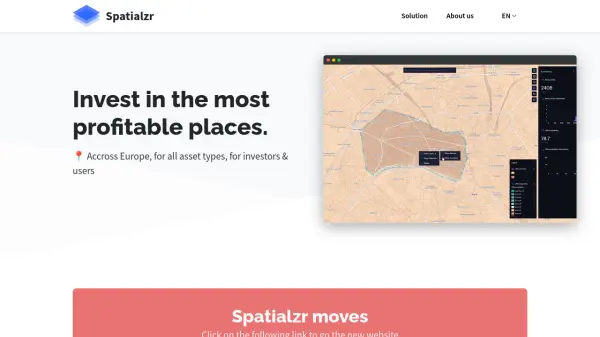 Spatialzr Invest in the most profitable places.
Spatialzr offers real-time market analysis and site selection algorithms for commercial real estate (CRE) across Europe, aiding investors and businesses in making informed location decisions.
- Paid
- From 216$
-
 Acclym Transform on-ground data into actionable sustainability insights
Acclym offers field-to-dashboard solutions for food and beverage companies, converting data into sustainability and supply chain intelligence to streamline reporting, compliance, and impact tracking.
- Contact for Pricing
-
 atlas.co Work with spatial data — simpler and faster
Atlas is a browser-based GIS platform designed to simplify the visualization, analysis, and building of spatial data workflows and web applications.
- Freemium
- From 23$
-
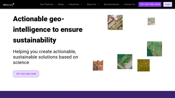 EOfactory Actionable geo-intelligence to ensure sustainability
EOfactory provides actionable geo-intelligence solutions using AI and ML for various industries, focusing on sustainability and science-based decisions. Access satellite imagery, process data, and visualize insights through custom dashboards.
- Free Trial
-
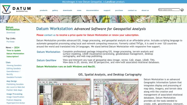 Datum Workstation Advanced Geospatial Analysis and Image Processing Software
Datum Workstation delivers professional GIS, image processing, and terrain analysis solutions, integrating advanced tools for managing, visualizing, and publishing geospatial data on Windows and MacOS platforms.
- Contact for Pricing
Featured Tools
Join Our Newsletter
Stay updated with the latest AI tools, news, and offers by subscribing to our weekly newsletter.
Didn't find tool you were looking for?