 Rubii: AI Character Community
Top AI tools for satellite imagery
-
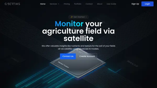 Cybertiks Monitor your agriculture field via satellite using advanced AI models
Cybertiks is an AI-powered agricultural monitoring platform that uses satellite imagery to provide detailed soil analysis and field insights, offering metrics like nutrients and texture with over 80% accuracy.
- Paid
- From 24$
-
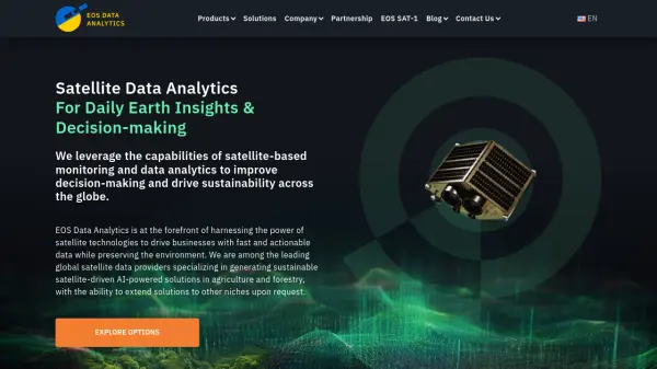 EOS Data Analytics Satellite Data Analytics For Daily Earth Insights & Decision-making
EOS Data Analytics is a leading provider of satellite-based monitoring and AI-powered analytics solutions, specializing in agriculture and forestry sectors to drive sustainable business decisions through actionable satellite data.
- Contact for Pricing
-
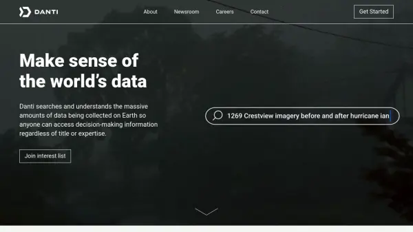 Danti Make sense of the world's data through intelligent search and analysis
Danti is an AI-powered search and analysis platform that synthesizes diverse data sources including imagery, news, and social media to provide comprehensive insights about any location on Earth.
- Contact for Pricing
-
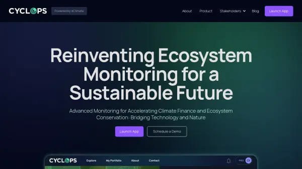 CYCLOPS Reinventing Ecosystem Monitoring for a Sustainable Future
CYCLOPS is a dMRV platform using AI and satellite imagery for global natural capital and carbon market monitoring. It offers comprehensive solutions for project developers, carbon credit platforms, and corporations.
- Free
-
 Blackshark.ai Real-time Semantic 3D Digital Twin of the Planet
Blackshark.ai generates a real-time, accurate, semantic, and photorealistic 3D digital twin of the entire planet using machine learning and satellite imagery. This technology supports various applications, including simulation, visualization, and geospatial analytics.
- Contact for Pricing
-
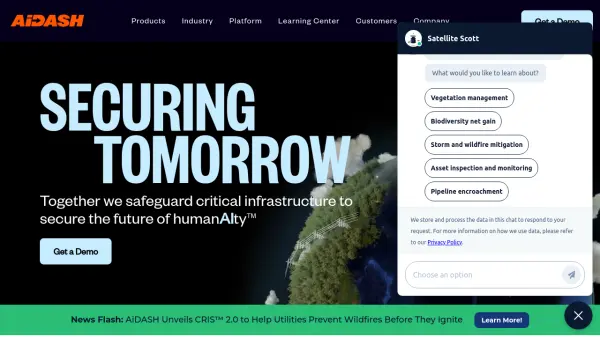 AiDASH Securing Tomorrow: Safeguarding Critical Infrastructure with AI
AiDASH offers AI-powered solutions for critical infrastructure management. Its satellite-based systems help industries improve reliability, reduce costs, and manage risks.
- Contact for Pricing
-
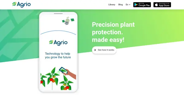 Agrio Precision plant protection, made easy!
Agrio is an AI-powered agricultural app providing precision plant protection through disease/pest detection, alerts, and farm management tools using satellite imagery and AI analysis.
- Freemium
-
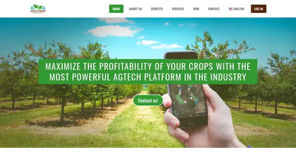 Instacrops Maximize the profitability of your crops with the most powerful AgTech platform in the industry
Instacrops is a virtual agricultural advisor using AI and IoT technology to provide real-time recommendations, optimizing resource use and maximizing crop profitability.
- Contact for Pricing
-
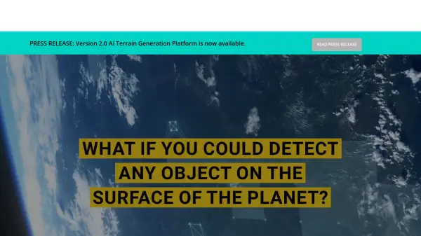
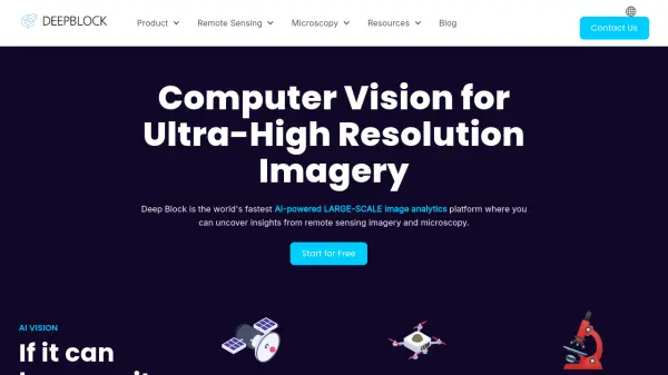 Deep Block Computer Vision for Ultra-High Resolution Imagery
Deep Block is an AI-powered platform designed for rapid analysis of large-scale, high-resolution imagery from sources like satellites, drones, and microscopes.
- Freemium
-
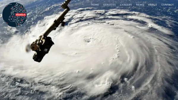 Mayday.ai Global Risk, Disaster, and Environmental Intelligence Platform
Mayday.ai provides real-time global risk, disaster, and environmental intelligence using an AI fusion engine, leveraging satellite and camera data for governments, enterprises, and insurers. It aids in risk reduction, disaster management, and environmental monitoring.
- Contact for Pricing
-
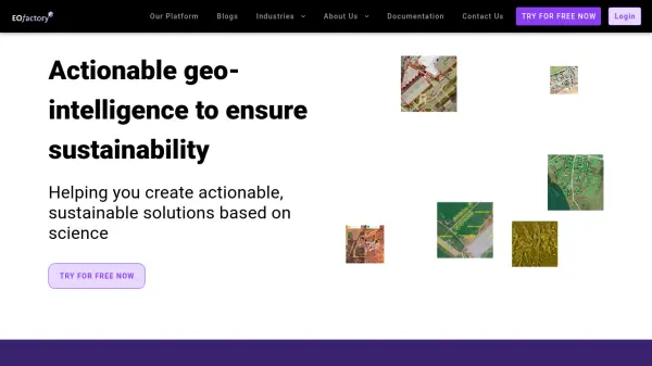 EOfactory Actionable geo-intelligence to ensure sustainability
EOfactory provides actionable geo-intelligence solutions using AI and ML for various industries, focusing on sustainability and science-based decisions. Access satellite imagery, process data, and visualize insights through custom dashboards.
- Free Trial
-
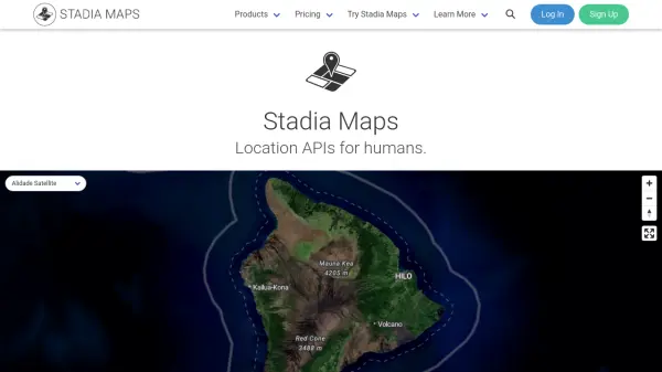 Stadia Maps Reliable Location APIs for Modern Applications
Stadia Maps delivers robust and privacy-focused location APIs, offering customizable maps, geocoding, routing, and satellite imagery for businesses and developers seeking scalable, cost-effective mapping solutions.
- Freemium
- From 20$
Featured Tools
Join Our Newsletter
Stay updated with the latest AI tools, news, and offers by subscribing to our weekly newsletter.
Didn't find tool you were looking for?