 Rubii: AI Character Community


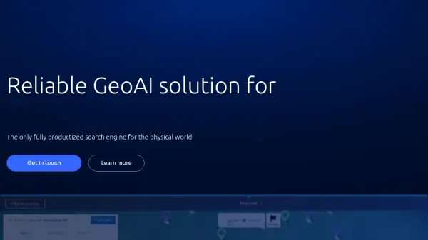
What is GeoSpy?
GeoSpy is an advanced AI platform designed to transform image data into actionable location intelligence. It leverages cutting-edge computer vision models to predict GPS locations from photos, even without EXIF data.
The platform offers global coverage, supporting deployments in over 120 countries, and is built to scale, processing hundreds of thousands of images daily. GeoSpy can be accessed via SaaS, API, or on-premises deployments, catering to diverse organizational needs.
Features
- Global Coverage: Supports deployments in over 120 countries.
- Scalability: Processes over 200,000 images daily and can scale to billions.
- Multiple Deployment Options: Accessible via SaaS, API, or on-premises deployments.
- Precise GPS Prediction: Converts low-context photo data into GPS location predictions without needing EXIF data.
- Superbolt AI model: New AI model for meter-level accuracy.
Use Cases
- Government and law enforcement applications requiring precise location intelligence.
- Enterprise solutions for organizations needing scalable image analysis.
- Intelligence gathering and analysis using advanced AI models.
Related Queries
Helpful for people in the following professions
GeoSpy Uptime Monitor
Average Uptime
99.69%
Average Response Time
120.73 ms

Featured Tools
Join Our Newsletter
Stay updated with the latest AI tools, news, and offers by subscribing to our weekly newsletter.