 ReddRadar
Top AI tools for Urban Planner
-
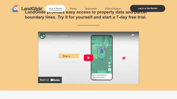 LandGlide Comprehensive Parcel Data and Property Line Mapping Anywhere
LandGlide offers advanced parcel data and property line mapping with GPS location, providing access to over 157 million U.S. parcel records on desktop and mobile devices.
- Freemium
- From 10$
-
 Ask Vandelay Your Ultimate AI Architecture Image Generator
Ask Vandelay is an AI-powered architectural image generator that transforms simple prompts into stunning, high-quality architectural visualizations using OpenAI's API technology.
- Pay Once
-
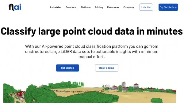 Flai AI-powered point cloud classification platform for LiDAR data processing
Flai is an advanced platform that transforms unstructured LiDAR datasets into actionable insights through AI-powered point cloud classification, offering both cloud-based and self-hosted solutions for efficient data processing.
- Freemium
- From 20$
-
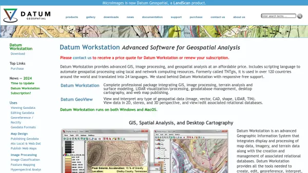 Datum Workstation Advanced Geospatial Analysis and Image Processing Software
Datum Workstation delivers professional GIS, image processing, and terrain analysis solutions, integrating advanced tools for managing, visualizing, and publishing geospatial data on Windows and MacOS platforms.
- Contact for Pricing
-
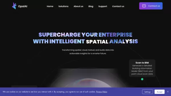 OpalAI Transforming spatial data into actionable insights with intelligent analysis
OpalAI is an advanced AI platform that converts spatial, visual, and point cloud data into detailed 3D models, BIM (Building Information Models), and actionable insights for various industries.
- Usage Based
- From 1$
-
 12d Synergy ISO 19650 Compliant Common Data Environment for Engineering and Construction
12d Synergy provides a streamlined Common Data Environment (CDE) for engineering and construction, enabling efficient document, email, and data management for all project stakeholders.
- Contact for Pricing
-
 Dassault Systèmes Virtual Worlds for Real Life
Dassault Systèmes provides businesses and people with virtual universes to create sustainable products and services. Leveraging virtual twin experiences, the company drives innovation across various sectors.
- Contact for Pricing
-
 Rekor Revolutionary Roadway Intelligence Powered by AI
Rekor is an advanced AI-powered roadway intelligence platform that collects, connects, and analyzes mobility data to provide comprehensive traffic management, vehicle recognition, and public safety solutions.
- Contact for Pricing
-
 xyzt.ai Turn your IoT data into actionable insights
xyzt.ai is a powerful platform that combines spatial and time series analysis to visualize and analyze spatio-temporal data from any source, regardless of size. It specializes in IoT, maritime, and mobility data analytics with GenAI-powered insights.
- Contact for Pricing
-
 CSV2GEO Batch Geocoding, Reverse Geocoding, and Interactive Map Creation
CSV2GEO is an online tool for converting addresses to geographic coordinates (latitude/longitude) and vice-versa in bulk. It also enables users to create and publish interactive maps from their data.
- Freemium
-
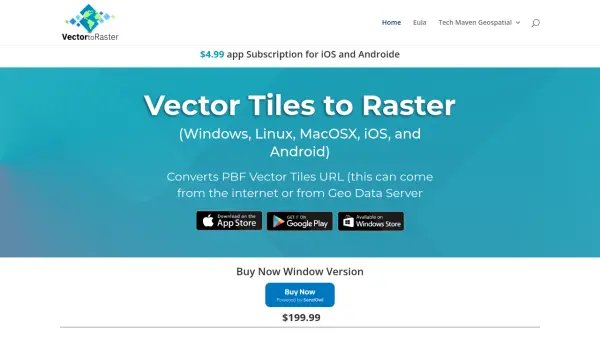 Vector2Raster Tiles Convert Vector Tiles to Raster Tiles Effortlessly
Vector2Raster Tiles automates the conversion of PBF vector tiles to raster formats, facilitating integration with mapping applications that require raster tile support.
- Paid
- From 5$
-
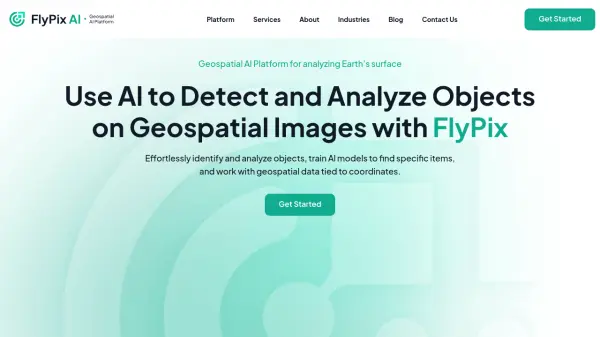 FlyPix AI Geospatial AI Platform for Analyzing Earth's Surface
FlyPix AI is a geospatial analysis platform that uses AI to detect and analyze objects in images. Train custom AI models and analyze geospatial data tied to coordinates.
- Freemium
- From 50$
-
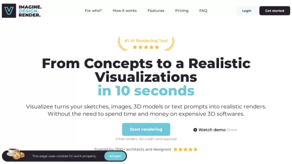 Visualizee.ai From Concepts to Realistic Visualizations in 10 Seconds
Visualizee.ai is a leading AI rendering tool designed to transform sketches, images, 3D models, or text prompts into stunning realistic renders within seconds, saving time and resources for architects and designers.
- Freemium
- From 9$
- API
-
 Roadcount Monitor and record traffic on your street, 24/7, automatically on your phone
Roadcount utilizes your phone to automatically monitor, count, and record street traffic 24/7, providing evidenced data including speed estimates.
- Contact for Pricing
-
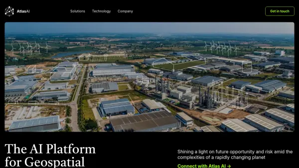 Atlas AI The AI Platform for Geospatial Insights
Atlas AI is a geospatial AI platform providing hyperlocal socio-demographic indicators and forecasting tools, empowering data scientists with location intelligence.
- Contact for Pricing
-
 GeoAI Harnessing AI and Spatial Data for Innovation
GeoAI combines Artificial Intelligence with geospatial engineering to analyze location-based data, satellite imagery, and advanced analytics for smarter decision-making in various industries.
- Contact for Pricing
-
 Maket Democratizing architecture with generative AI
Maket is an AI-powered platform that automates residential floorplan generation, enables style exploration, and provides regulatory guidance for architecture and design projects.
- Freemium
- From 30$
-
 LTU Tech Advanced Visual Recognition and Image Analysis Solutions
LTU Tech leverages patented algorithms to deliver advanced image recognition, visual search, and risk management solutions across industries, enhancing operational efficiency and asset protection.
- Other
-
 OutlineAI Revolutionizing real estate feasibility studies and schematic designs with AI.
OutlineAI utilizes artificial intelligence to automate and optimize architectural design processes, significantly reducing time and improving efficiency for real estate projects.
- Contact for Pricing
-
 Wings Engine Interactive 3D and XR Creation Platform for the Web
Wings Engine is a no-code, web-based platform designed to enable interactive 3D and XR creation with real-time rendering, suitable for industries ranging from product display to building planning.
- Other
-
 quarter.nyc Instant Parking Booking Anytime, Anywhere
Quarter connects drivers with available parking spots nationwide, offering hourly to monthly reservations and secure, hassle-free transactions for both drivers and parking space hosts.
- Other
-
 Hayden AI Revolutionizing Problem-Solving with AI
Hayden AI provides an AI-powered mobile perception platform that utilizes deep learning for various applications, including automated traffic enforcement and data-driven insights for cities.
- Contact for Pricing
-
 Wayfindr Empowering Independent Indoor Navigation for the Vision Impaired
Wayfindr is an award-winning non-profit creating accessible audio navigation standards to help blind and partially sighted individuals navigate indoor environments independently.
- Free
-
 PlantMaster Streamline Landscape Plant Presentations and Reports
PlantMaster delivers robust plant database management and interactive presentation tools for landscape professionals, enabling effortless plant selection, customization, and project reporting.
- Free Trial
-
 Bee Maps Simplify Fleet Management with AI-Powered Mapping Insights
Bee Maps offers AI-powered fleet management solutions and hyper-fresh mapping data APIs for optimized routing, cost savings, and real-time monitoring.
- Contact for Pricing
-
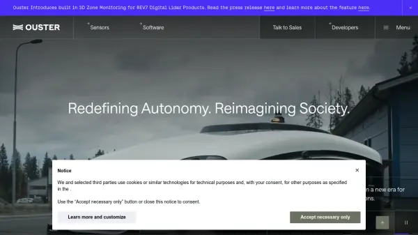 Ouster High-resolution lidar sensors and perception software for autonomy.
Ouster provides high-resolution digital lidar sensors and AI-powered perception software designed to enhance safety, efficiency, and autonomy across various industries including automotive, robotics, and smart infrastructure.
- Contact for Pricing
-
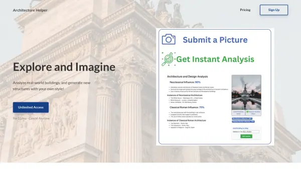 Architecture Helper Explore and Imagine Architecture Through AI Analysis and Generation
Architecture Helper is an AI-powered platform that analyzes real-world buildings and generates new architectural designs. For $5/month, users can analyze buildings, generate custom designs, and explore different architectural styles.
- Paid
- From 5$
-
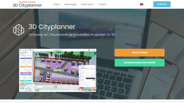 3D Cityplanner Design and Visualize Urban Projects with Smart 3D Planning
3D Cityplanner enables professionals to design, analyze, and visualize urban development projects using advanced data layers and AI-powered planning tools within a detailed 3D environment.
- Freemium
-
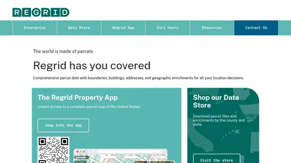 Regrid Comprehensive parcel data with boundaries, buildings, addresses, and geographic enrichments for all your location decisions.
Regrid provides comprehensive parcel data for the U.S. and Canada, including boundaries, ownership, addresses, and geographic insights, accessible via app, data store, API, and enterprise solutions.
- Freemium
-
 PIXTA AI Get Trusted Order Made Visual Dataset Easily
PIXTA AI is a comprehensive data marketplace platform that provides customized visual datasets and data annotation services for AI development, focusing on computer vision, audio, and language processing applications.
- Contact for Pricing
-
 EOfactory Actionable geo-intelligence to ensure sustainability
EOfactory provides actionable geo-intelligence solutions using AI and ML for various industries, focusing on sustainability and science-based decisions. Access satellite imagery, process data, and visualize insights through custom dashboards.
- Free Trial
-
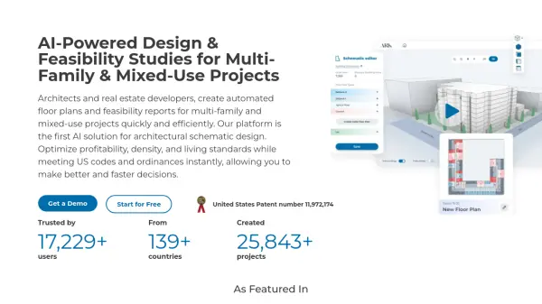 ARK AI-Powered Design & Feasibility Studies for Multi-Family & Mixed-Use Projects
ARK is an AI-powered platform for architects and real estate developers that automates floor plan generation and feasibility reports for multi-family and mixed-use projects, optimizing for profitability and code compliance.
- Freemium
- From 199$
-
 Geopipe Build the Future with Interactive 3D Models of the Real World
Geopipe uses AI to create interactive 3D models of real-world environments from sensor data. Stream vast digital twins directly into Unity, Unreal Engine, or download as 3D meshes for simulations, gaming, and VR experiences.
- Contact for Pricing
-
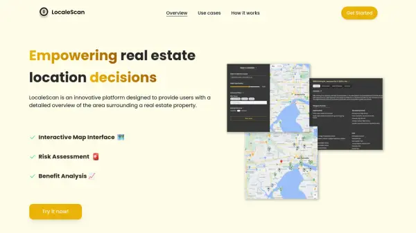 LocaleScan Empowering Real Estate Location Decisions
LocaleScan provides a detailed overview of areas surrounding real estate properties, utilizing AI to assess risks and benefits for informed decision-making.
- Free
-
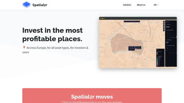 Spatialzr Invest in the most profitable places.
Spatialzr offers real-time market analysis and site selection algorithms for commercial real estate (CRE) across Europe, aiding investors and businesses in making informed location decisions.
- Paid
- From 216$
-
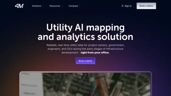 4M Analytics The ultimate source of utility data
4M Analytics is an AI-powered utility mapping and analytics platform that provides real-time utility data and infrastructure mapping solutions for project owners, engineers, and contractors during early-stage infrastructure development.
- Contact for Pricing
-
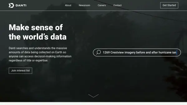 Danti Make sense of the world's data through intelligent search and analysis
Danti is an AI-powered search and analysis platform that synthesizes diverse data sources including imagery, news, and social media to provide comprehensive insights about any location on Earth.
- Contact for Pricing
-
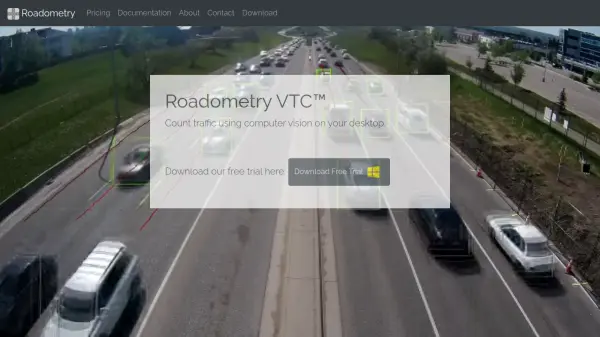 Roadometry Count traffic using computer vision on your desktop.
Roadometry provides desktop software utilizing computer vision to count traffic, offering valuable data for transportation analysis and system integration.
- Free Trial
-
 Switch AI-Powered Fleet Operations & Urban Mobility Planning
Switch leverages advanced AI technologies to optimize fleet operations, demand forecasting, and infrastructure planning for urban mobility stakeholders.
- Contact for Pricing
-
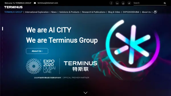 Terminus Group Shaping the Next Generation of Technology with AIoT
Terminus Group is an international AI smart service provider, specializing in Artificial Intelligence & Internet of Things (AIoT) solutions for smart cities, sustainable development, and robotics.
- Contact for Pricing
-
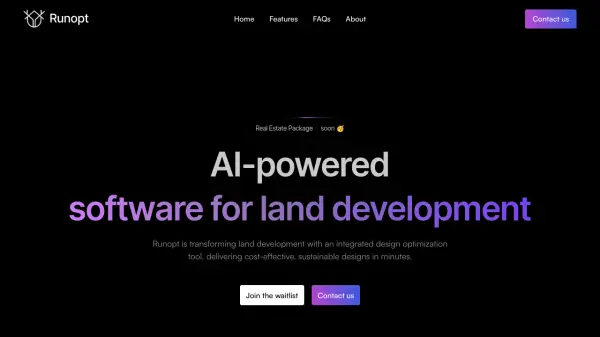 Runopt AI-powered software for land development delivering cost-effective, sustainable designs in minutes.
Runopt is an AI-powered software transforming land development by integrating design optimization for cost-effective, sustainable designs. It streamlines site analysis, grading, drainage, and reporting for civil engineers and developers.
- Contact for Pricing
-
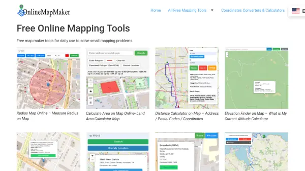 Online Map Maker Free, Easy-to-Use Online Mapping and Geodata Tools
Online Map Maker provides a suite of free web-based mapping tools for calculating areas, distances, elevations, zip codes, and more through an intuitive interface. The platform supports geographic data visualization, conversion, and analysis for students, professionals, and planners.
- Free
-
 Blackshark.ai Real-time Semantic 3D Digital Twin of the Planet
Blackshark.ai generates a real-time, accurate, semantic, and photorealistic 3D digital twin of the entire planet using machine learning and satellite imagery. This technology supports various applications, including simulation, visualization, and geospatial analytics.
- Contact for Pricing
-
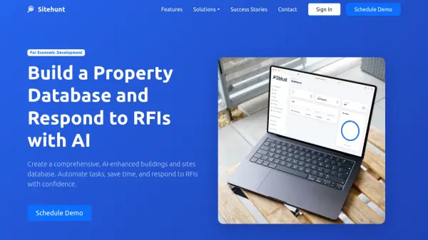 Sitehunt Build a Property Database and Respond to RFIs with AI
Sitehunt provides an AI-enhanced property database and RFI automation platform specifically designed for economic development professionals to streamline workflows and respond to requests efficiently.
- Contact for Pricing
-
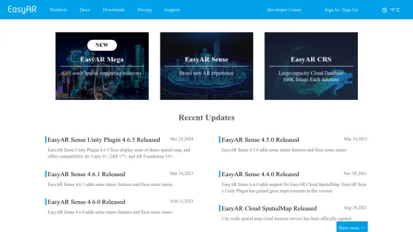 EasyAR Spatial Computing Platform Connecting Everything
EasyAR offers a spatial computing platform with solutions for city-scale mapping, localization, and AR experiences, catering to various industries.
- Freemium
- From 49$
-
 Garudalytics Solving real-world challenges using GeoAI.
Garudalytics provides Geospatial AI (GeoAI) solutions, extracting insights from location data to address challenges across various sectors.
- Contact for Pricing
-
 Redraw Generate Realistic Renders in Under 30 Seconds with AI
Redraw is an AI-powered tool for architects, engineers, and designers to create realistic renders, generate design ideas, and enhance images quickly.
- Paid
- From 13$
-
 GoodVision AI-Driven Traffic Solutions for Safer, Smarter Cities
GoodVision offers AI-powered traffic monitoring and analytics solutions that help cities optimize traffic flow, prevent congestion, and enhance road safety through real-time camera-based analytics.
- Contact for Pricing
-
 GardenBox 3D User-Friendly 3D Landscape Design Software for Homeowners
GardenBox 3D is powerful, user-friendly landscape design software that allows users to create and visualize garden, backyard, and exterior house plans in 3D, complete with customizable materials and real-time previews.
- Freemium
-
 Humans.ai Making AI Work for Humans
Humans.ai is an AI and blockchain ecosystem offering personalized AI tools designed to deliver transparent, equitable, and ethical AI solutions. It pioneers a decentralized approach to data validation, ensuring fair and unbiased AI systems.
- Contact for Pricing
Featured Tools
Join Our Newsletter
Stay updated with the latest AI tools, news, and offers by subscribing to our weekly newsletter.
Didn't find tool you were looking for?