 Rubii: AI Character Community

Blackshark.ai - Alternatives & Competitors
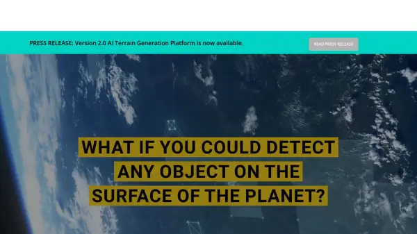
Real-time Semantic 3D Digital Twin of the Planet
Blackshark.ai generates a real-time, accurate, semantic, and photorealistic 3D digital twin of the entire planet using machine learning and satellite imagery. This technology supports various applications, including simulation, visualization, and geospatial analytics.
Ranked by Relevance
-
1
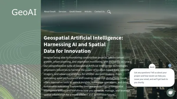 GeoAI Harnessing AI and Spatial Data for Innovation
GeoAI combines Artificial Intelligence with geospatial engineering to analyze location-based data, satellite imagery, and advanced analytics for smarter decision-making in various industries.
- Contact for Pricing
-
2
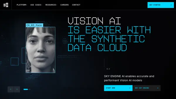 SKY ENGINE AI Synthetic Data Cloud for Vision AI
SKY ENGINE AI provides a 3D Generative AI Synthetic Data Cloud platform, enabling the creation of high-performing Vision AI models with improved accuracy and reduced development time.
- Contact for Pricing
-
3
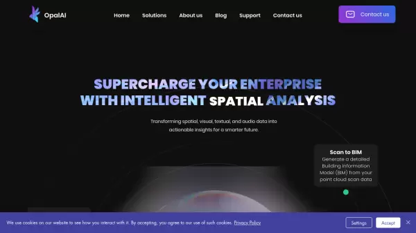 OpalAI Transforming spatial data into actionable insights with intelligent analysis
OpalAI is an advanced AI platform that converts spatial, visual, and point cloud data into detailed 3D models, BIM (Building Information Models), and actionable insights for various industries.
- Usage Based
- From 1$
-
4
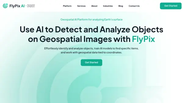 FlyPix AI Geospatial AI Platform for Analyzing Earth's Surface
FlyPix AI is a geospatial analysis platform that uses AI to detect and analyze objects in images. Train custom AI models and analyze geospatial data tied to coordinates.
- Freemium
- From 50$
-
5
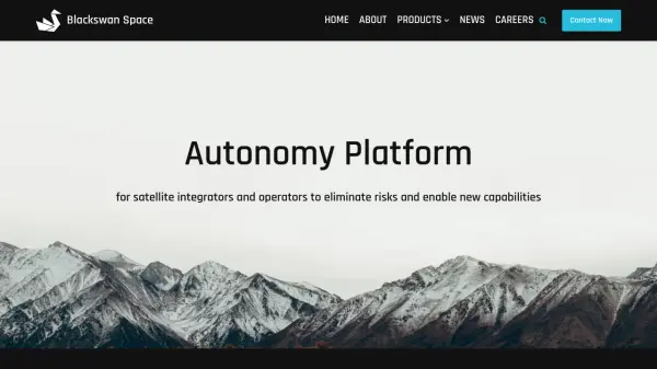 Blackswan Space Autonomy Platform for satellite integrators and operators to eliminate risks and enable new capabilities
Blackswan Space provides advanced AI-powered solutions for space missions, including mission simulation, vision-based navigation, and robotic control systems for satellites and space operations.
- Contact for Pricing
-
6
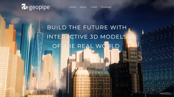 Geopipe Build the Future with Interactive 3D Models of the Real World
Geopipe uses AI to create interactive 3D models of real-world environments from sensor data. Stream vast digital twins directly into Unity, Unreal Engine, or download as 3D meshes for simulations, gaming, and VR experiences.
- Contact for Pricing
-
7
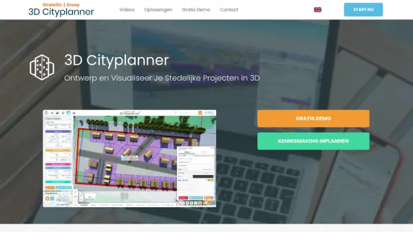 3D Cityplanner Design and Visualize Urban Projects with Smart 3D Planning
3D Cityplanner enables professionals to design, analyze, and visualize urban development projects using advanced data layers and AI-powered planning tools within a detailed 3D environment.
- Freemium
-
8
 Danti Make sense of the world's data through intelligent search and analysis
Danti is an AI-powered search and analysis platform that synthesizes diverse data sources including imagery, news, and social media to provide comprehensive insights about any location on Earth.
- Contact for Pricing
-
9
 Garudalytics Solving real-world challenges using GeoAI.
Garudalytics provides Geospatial AI (GeoAI) solutions, extracting insights from location data to address challenges across various sectors.
- Contact for Pricing
-
10
 Synthesis AI Simulation and Synthetic Data for Computer Vision Applications
Synthesis AI provides simulation and synthetic data solutions to build better computer vision models, focusing on biometrics, security, and consumer device applications.
- Contact for Pricing
-
11
 Picterra Reliable GeoAI solution for sustainability, compliance, transparency, accountability, monitoring, and verification.
Picterra is a GeoAI platform that enables users to build and deploy custom AI models for geospatial imagery analysis. It supports various data types and offers solutions for multiple industries, facilitating scalable and collaborative geospatial analysis.
- Contact for Pricing
-
12
 Blackthorn AI Innovative AI Solutions for Your Business Needs
Blackthorn AI provides AI and ML development services, delivering enterprise-grade accuracy and results. With over 50 successful projects, they specialize in generative AI, big data analytics, and custom software solutions.
- Contact for Pricing
-
13
 Unearth AI Modern location solutions powered by AI
Unearth AI offers AI-powered geospatial data analysis tools. Products include Unearth Lite, a ChatGPT-powered location explorer, and Unearth Insights for enterprise geospatial analytics.
- Contact for Pricing
-
14
 Mayday.ai Global Risk, Disaster, and Environmental Intelligence Platform
Mayday.ai provides real-time global risk, disaster, and environmental intelligence using an AI fusion engine, leveraging satellite and camera data for governments, enterprises, and insurers. It aids in risk reduction, disaster management, and environmental monitoring.
- Contact for Pricing
-
15
 bifrost.ai Generate Synthetic Data For Physical AI Training and Validation
BIFROST generates physically accurate synthetic datasets in 3D simulations to train and validate AI models faster, eliminating the need for real-world data collection and manual labeling. Accelerate AI development and testing across critical conditions.
- Contact for Pricing
-
16
 Rendered.ai Unlimited Synthetic Data Generation for Computer Vision AI
Rendered.ai is a platform for generating physically accurate synthetic computer vision datasets to train AI and ML systems, overcoming data limitations and bias.
- Free Trial
- From 5000$
-
17
 Zensors Physical AI for mission critical decisions
Zensors is a spatial AI platform designed to automate physical world processes and provide operational insights for industries like aviation, retail, and commercial real estate.
- Contact for Pricing
-
18
 GeoSpy Unlock the Power of AI Image intelligence
GeoSpy is an AI-powered platform that converts image data into precise GPS location predictions. It offers advanced location intelligence solutions for various organizations globally.
- Contact for Pricing
-
19
 3DtoMe Enhance your business with Spatial Computing
3DtoMe is a versatile ecosystem for creating, managing, visualizing, and sharing 3D models across multiple devices, including web, iOS, macOS, and Apple Vision Pro, designed to elevate businesses with Spatial Computing.
- Paid
Featured Tools
Join Our Newsletter
Stay updated with the latest AI tools, news, and offers by subscribing to our weekly newsletter.
Didn't find tool you were looking for?