 Rubii: AI Character Community

FlyPix AI - Alternatives & Competitors
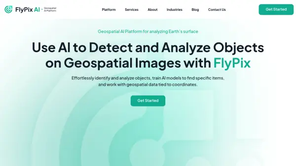
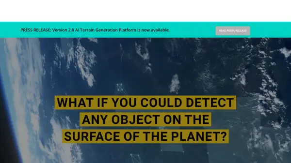
Geospatial AI Platform for Analyzing Earth's Surface
FlyPix AI is a geospatial analysis platform that uses AI to detect and analyze objects in images. Train custom AI models and analyze geospatial data tied to coordinates.
Ranked by Relevance
-
1
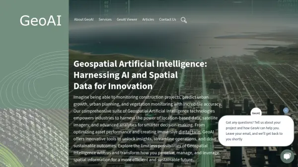 GeoAI Harnessing AI and Spatial Data for Innovation
GeoAI combines Artificial Intelligence with geospatial engineering to analyze location-based data, satellite imagery, and advanced analytics for smarter decision-making in various industries.
- Contact for Pricing
-
2
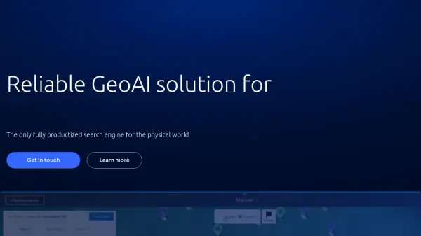 Picterra Reliable GeoAI solution for sustainability, compliance, transparency, accountability, monitoring, and verification.
Picterra is a GeoAI platform that enables users to build and deploy custom AI models for geospatial imagery analysis. It supports various data types and offers solutions for multiple industries, facilitating scalable and collaborative geospatial analysis.
- Contact for Pricing
-
3
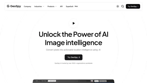 GeoSpy Unlock the Power of AI Image intelligence
GeoSpy is an AI-powered platform that converts image data into precise GPS location predictions. It offers advanced location intelligence solutions for various organizations globally.
- Contact for Pricing
-
4
 Unearth AI Modern location solutions powered by AI
Unearth AI offers AI-powered geospatial data analysis tools. Products include Unearth Lite, a ChatGPT-powered location explorer, and Unearth Insights for enterprise geospatial analytics.
- Contact for Pricing
-
5
 Garudalytics Solving real-world challenges using GeoAI.
Garudalytics provides Geospatial AI (GeoAI) solutions, extracting insights from location data to address challenges across various sectors.
- Contact for Pricing
-
6
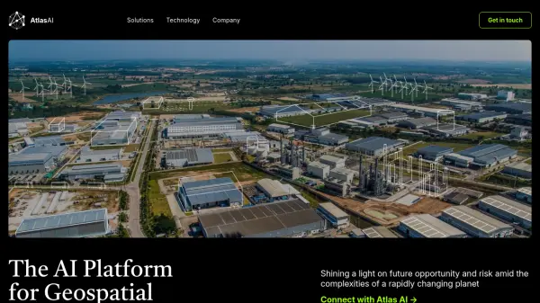 Atlas AI The AI Platform for Geospatial Insights
Atlas AI is a geospatial AI platform providing hyperlocal socio-demographic indicators and forecasting tools, empowering data scientists with location intelligence.
- Contact for Pricing
-
7
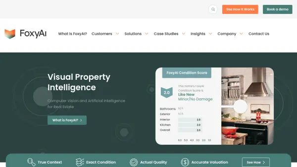 FoxyAI Visual Property Intelligence
FoxyAI offers AI-powered visual property intelligence solutions for the real estate industry. It uses computer vision to analyze property images and provide accurate valuations, condition assessments, and quality control.
- Contact for Pricing
-
8
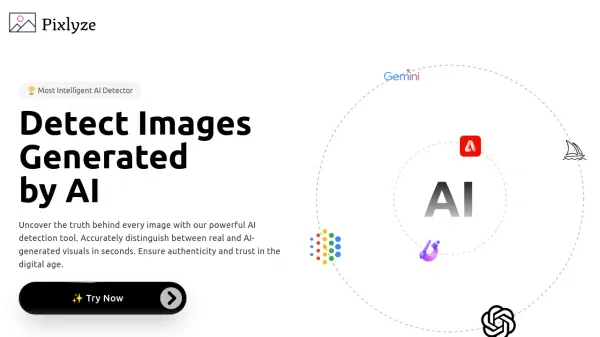 Pixlyze Detect Images Generated by AI
Pixlyze is an AI detection tool that accurately distinguishes between real and AI-generated visuals. Ensure authenticity and trust in the digital age with fast and secure image analysis.
- Free
-
9
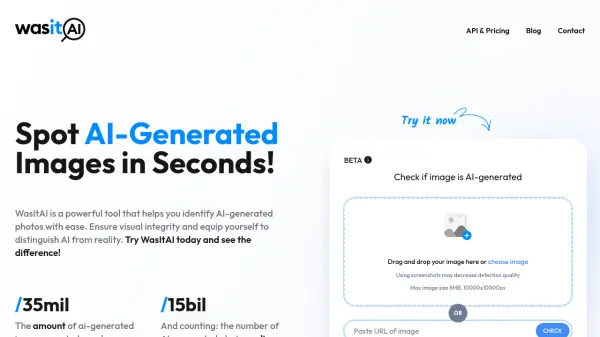 WasItAI Spot AI-Generated Images Instantly
WasItAI is a powerful AI-powered tool that quickly and accurately identifies AI-generated images. Ensure visual integrity and distinguish between real and AI-generated photos with ease.
- Free
-
10
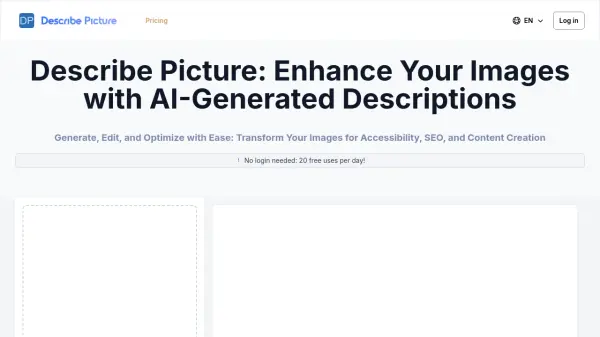 Describe Picture Enhance Your Images with AI-Generated Descriptions
Describe Picture is an AI-powered platform that automatically generates detailed descriptions of images for accessibility, SEO optimization, and content creation purposes.
- Freemium
- From 20$
-
11
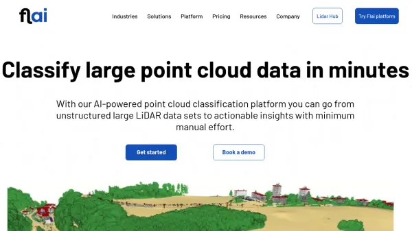 Flai AI-powered point cloud classification platform for LiDAR data processing
Flai is an advanced platform that transforms unstructured LiDAR datasets into actionable insights through AI-powered point cloud classification, offering both cloud-based and self-hosted solutions for efficient data processing.
- Freemium
- From 20$
-
12
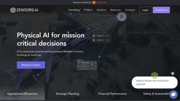 Zensors Physical AI for mission critical decisions
Zensors is a spatial AI platform designed to automate physical world processes and provide operational insights for industries like aviation, retail, and commercial real estate.
- Contact for Pricing
-
13
 Blackshark.ai Real-time Semantic 3D Digital Twin of the Planet
Blackshark.ai generates a real-time, accurate, semantic, and photorealistic 3D digital twin of the entire planet using machine learning and satellite imagery. This technology supports various applications, including simulation, visualization, and geospatial analytics.
- Contact for Pricing
-
14
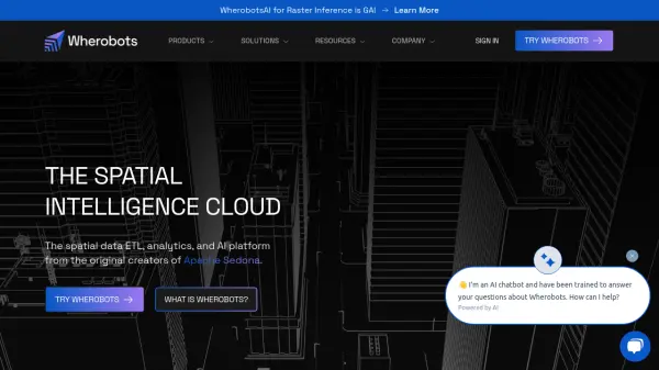 Wherobots The Spatial Intelligence Cloud for Planetary-Scale Analytics
Wherobots is a comprehensive spatial data platform that combines ETL, analytics, and AI capabilities for processing geospatial data at scale, created by the original developers of Apache Sedona.
- Freemium
-
15
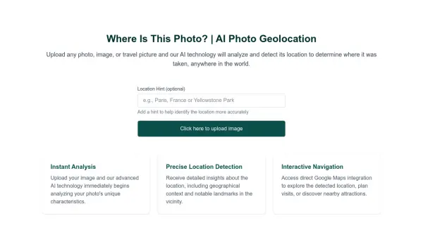 Where Is This Photo? AI Photo Geolocation
Where Is This Photo? uses AI to analyze uploaded photos and determine the geographical location where they were taken.
- Free
-
16
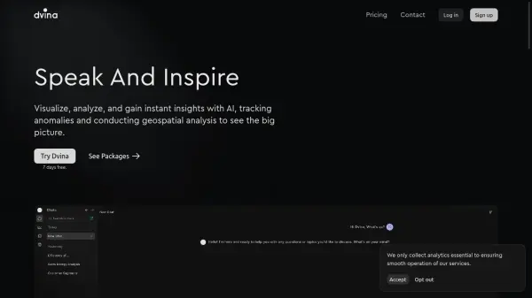 Dvina Visualize, analyze, and gain instant insights with AI for data-driven decision making
Dvina is an AI-powered analytics platform that helps users visualize, analyze, and gain instant insights from multiple data sources, featuring geospatial analysis, anomaly detection, and real-time reporting capabilities.
- Freemium
- From 72$
-
17
 Skyline AI Real Estate Investment Meets Artificial Intelligence
Skyline AI offers a platform leveraging artificial intelligence for faster and more comprehensive analysis of commercial real estate properties.
- Contact for Pricing
-
18
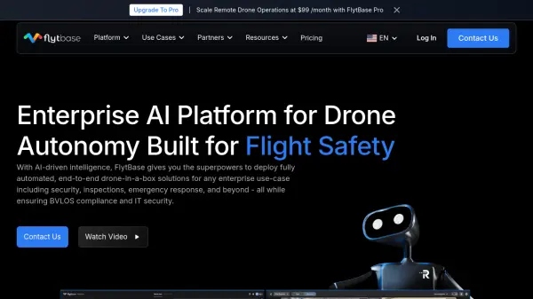 FlytBase Enterprise AI Platform for Drone Autonomy
FlytBase is an enterprise AI platform enabling fully automated, end-to-end drone-in-a-box solutions, focusing on data security, scalability, and integration for commercial applications.
- Freemium
- From 99$
-
19
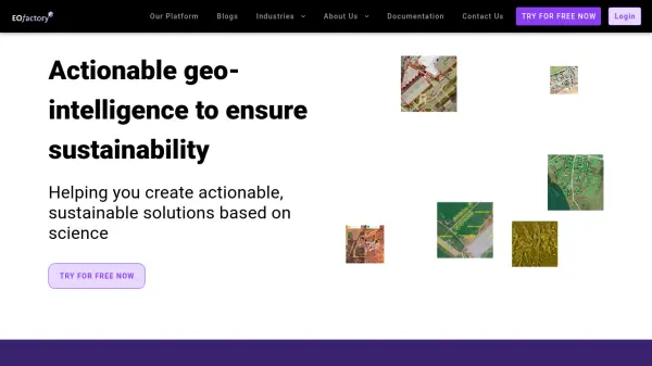 EOfactory Actionable geo-intelligence to ensure sustainability
EOfactory provides actionable geo-intelligence solutions using AI and ML for various industries, focusing on sustainability and science-based decisions. Access satellite imagery, process data, and visualize insights through custom dashboards.
- Free Trial
-
20
 Geospatial Analytics Real Estate Decision Intelligence Software
Geospatial Analytics delivers advanced real estate management technologies and analytical platform solutions, enabling portfolio optimization and informed decision-making through data-driven insights.
- Contact for Pricing
-
21
 Image Describer Chat with Images, Unleash Insight
Image Describer is an advanced AI tool that generates detailed descriptions of images, analyzing content for emotional insights, data chart analysis, and creation background, with support for multiple languages and various use cases.
- Freemium
-
22
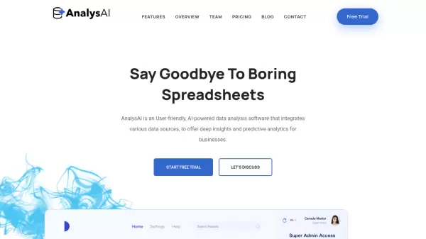 AnalysAI Say Goodbye To Boring Spreadsheets
AnalysAI is a user-friendly, AI-powered data analysis software that integrates multiple data sources to provide deep insights and predictive analytics for businesses.
- Freemium
- From 29$
-
23
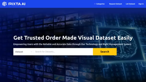 PIXTA AI Get Trusted Order Made Visual Dataset Easily
PIXTA AI is a comprehensive data marketplace platform that provides customized visual datasets and data annotation services for AI development, focusing on computer vision, audio, and language processing applications.
- Contact for Pricing
-
24
 FindPicLocation AI-Powered Photo Location Finder
FindPicLocation is an AI tool that identifies the geographic location where a photo was taken by analyzing visual cues and EXIF data.
- Freemium
- From 9$
-
25
 Pano AI Actionable Intelligence for Wildfire Management
Pano AI provides actionable intelligence for rapid wildfire detection and management using AI-powered cameras and data analysis. It helps fire professionals reduce response times and contain threats faster.
- Contact for Pricing
-
26
 Property AI Maximize Your Property Rent Yields Easily
Property AI is an advanced tool that analyzes real estate data to provide actionable insights for property investors, helping them maximize rental yields and investment returns.
- Free Trial
-
27
 CrowdAI Mission-Ready AI. Built for Public Sector.
CrowdAI offers a no-code computer vision platform to automate image and video analysis, enabling faster and smarter decision-making for domain-specific needs.
- Contact for Pricing
-
28
 ChartPixel Automated charts and insights in 30 seconds
ChartPixel is an AI-powered data analysis platform that transforms complex data into clear visualizations and actionable insights without coding. It offers automated data cleaning, statistical analysis, and instant chart generation suitable for both beginners and professionals.
- Freemium
- From 15$
-
29
 Image-Pro AI Remarkably Accurate. Delightfully Efficient. Image Analysis Software for Microscopy.
Image-Pro AI is advanced image analysis software using AI Deep Learning for microscopy applications in life science and materials science, streamlining data analysis.
- Contact for Pricing
-
30
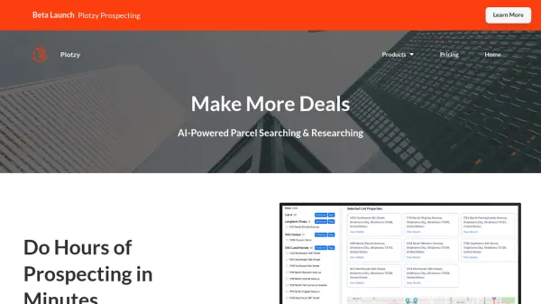 Plotzy AI-Powered Parcel Searching & Researching
Plotzy is an AI-powered platform that streamlines property research and prospecting, helping users identify parcels, access owner contact information, and manage deals efficiently.
- Paid
- From 65$
-
31
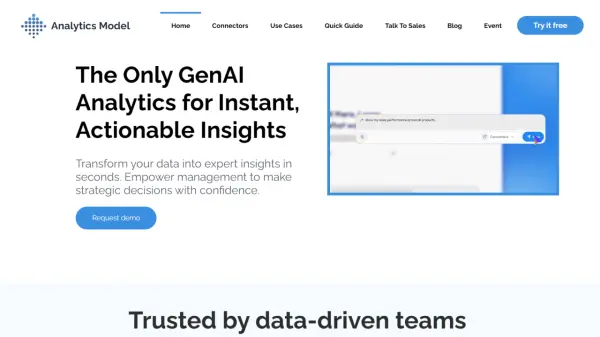 Analytics Model The Only GenAI Analytics for Instant, Actionable Insights
Analytics Model is an AI-powered platform that transforms your data into expert insights in seconds. It empowers management to make strategic decisions with confidence.
- Paid
- From 99$
-
32
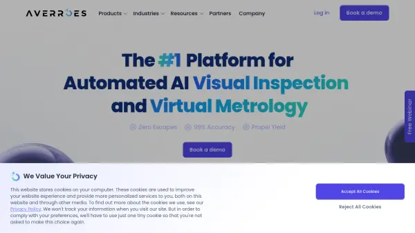 Averroes Automated AI Visual Inspection and Virtual Metrology
Averroes offers an automated AI visual inspection platform that achieves 99% accuracy, integrates with existing equipment, and requires no coding skills. It optimizes quality control across various industries.
- Contact for Pricing
-
33
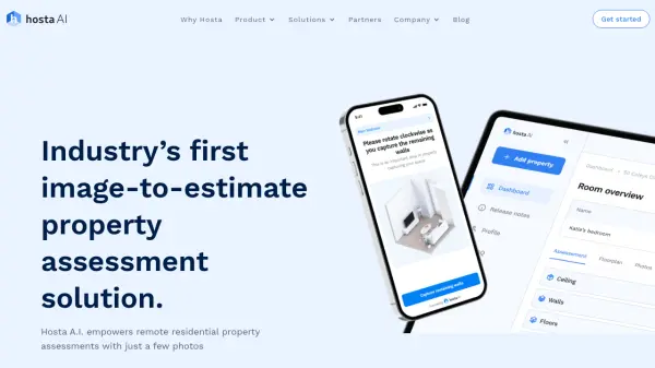 Hosta A.I. AI-powered solution for remote property assessments
Hosta A.I. automates property assessments using patented AI spatial and material analytics, requiring only a few photos. It accelerates processes for insurers, contractors, and property managers.
- Contact for Pricing
-
34
 X-ray Interpreter Instant AI X-ray Insights
X-ray Interpreter provides AI-powered analysis of radiological images, including X-rays, CT scans, MRIs, and ultrasounds, offering quick preliminary interpretations to assist users in understanding their medical images.
- Paid
-
35
 CAPE Analytics AI-Powered Property Intelligence for Risk
CAPE Analytics provides AI-powered property intelligence to help insurance carriers, real estate investors, and lenders assess risk and make informed decisions. Its solutions leverage geospatial imagery, computer vision, and machine learning to deliver accurate property insights.
- Contact for Pricing
-
36
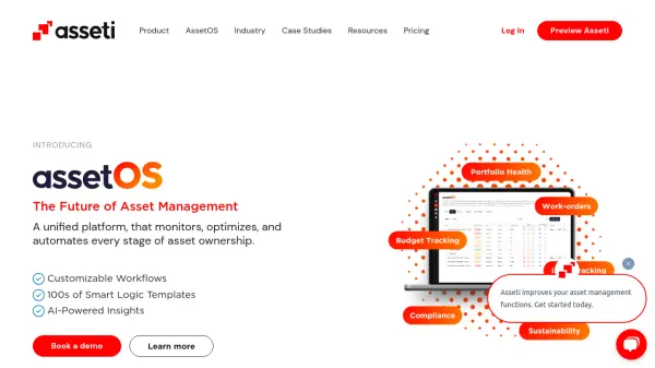 Asseti A unified platform that monitors, optimizes, and automates every stage of asset ownership
Asseti is an AI-powered asset condition monitoring platform that automates property asset management through drone imagery capture, 3D modeling, and intelligent analysis for enterprise asset and facility managers.
- Usage Based
-
37
 Fabi.ai The AI Data Analyst You've Been Waiting For.
Fabi.ai is an AI-powered data analysis platform that combines SQL, Python, and automation to help you conquer complex analyses and turn data into actionable insights.
- Freemium
- From 199$
-
38
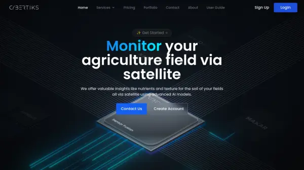 Cybertiks Monitor your agriculture field via satellite using advanced AI models
Cybertiks is an AI-powered agricultural monitoring platform that uses satellite imagery to provide detailed soil analysis and field insights, offering metrics like nutrients and texture with over 80% accuracy.
- Paid
- From 24$
-
39
 iPicks AI Insights for Smarter Investments.
iPicks provides AI-powered insights to accelerate research and spot hidden opportunities on over 6,000 stocks and ETFs.
- Free
-
40
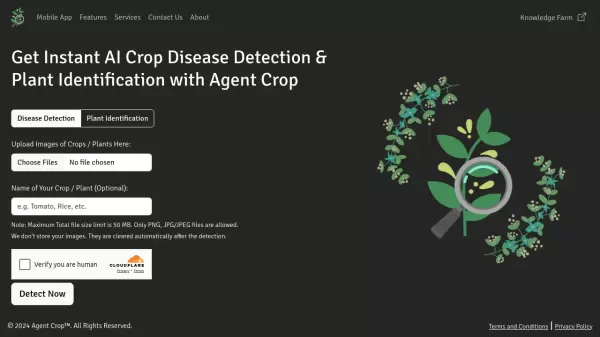 Agent Crop Instant AI Crop Disease Detection & Plant Identification
Agent Crop is an AI-powered agricultural tool that provides instant crop disease detection and plant identification through image analysis.
- Free
-
41
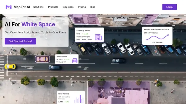 MapZot.AI AI-Powered Location Analytics for Strategic Expansion
MapZot.AI provides AI-driven location analytics to help businesses optimize site selection, market planning, and sales forecasting. Leverage real-time data and insights for strategic growth and expansion.
- Contact for Pricing
-
42
 HEAVY.AI Instant Analytics on Billions of Records
HEAVY.AI is a revolutionary GPU-accelerated database and analytics platform providing instant insights on billions of records, including geospatial and time series data.
- Freemium
-
43
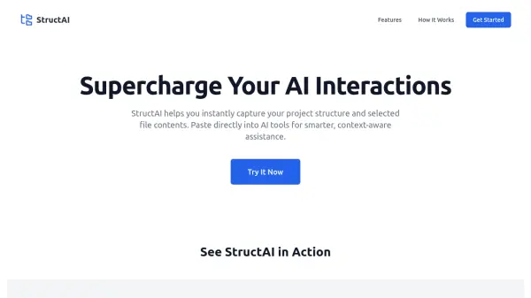 StructAI Supercharge Your AI Interactions with Smart Project Structure Visualization
StructAI is a development tool that helps capture and visualize project structures and file contents for enhanced AI-assisted development, enabling seamless integration with AI tools.
- Free
-
44
 Insurance AI Ask Any Insurance Question From Your AI Insurance Expert
Insurance AI is an advanced artificial intelligence system designed to provide instant answers and guidance for insurance-related inquiries, from policy coverage to claims processing.
- Free
-
45
 EyePop.ai Your hassle-free AI vision partner built for innovators
EyePop.ai is a platform that enables users to create and own custom AI-powered vision models without requiring machine learning expertise. It offers both pre-trained models and custom solutions starting at $99/month.
- Freemium
- From 99$
-
46
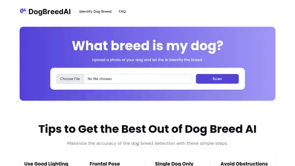 What Breed Is My Dog AI-Powered Dog Breed Identification from Photos
A free AI tool that analyzes photos to identify dog breeds by examining specific physical characteristics and features through advanced image recognition technology.
- Free
-
47
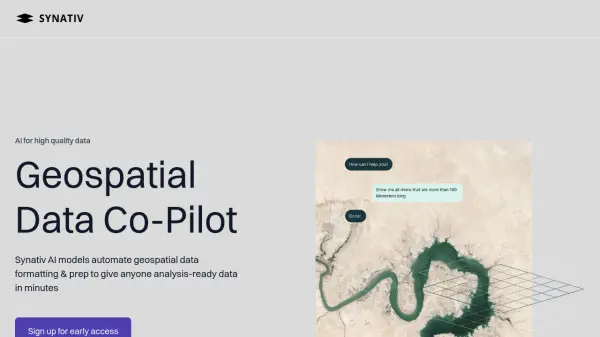 Synativ Geospatial Data Co-Pilot
Synativ utilizes AI to automate geospatial data formatting and preparation, delivering analysis-ready data in minutes. It significantly reduces manual labor and human error in geospatial data processing.
- Contact for Pricing
-
48
 ImgifyAI One-stop AI Image Tool for Creating and Editing Stunning Artwork
ImgifyAI is an all-in-one AI creative toolkit that offers image generation, editing, and enhancement capabilities with multiple style options including anime, Pixar, and emoji art styles.
- Freemium
- From 10$
-
49
 Mayday.ai Global Risk, Disaster, and Environmental Intelligence Platform
Mayday.ai provides real-time global risk, disaster, and environmental intelligence using an AI fusion engine, leveraging satellite and camera data for governments, enterprises, and insurers. It aids in risk reduction, disaster management, and environmental monitoring.
- Contact for Pricing
-
50
 Fifi.ai Easy AI Cloud for Running Open Source Models with Dedicated Servers
Fifi.ai is a cloud platform that enables businesses to deploy, run, and scale open-source AI models with dedicated servers and comprehensive API integration capabilities.
- Contact for Pricing
Featured Tools
Join Our Newsletter
Stay updated with the latest AI tools, news, and offers by subscribing to our weekly newsletter.
Didn't find tool you were looking for?